Author: Steve Weinberg
Date: 10/15/2000
Street Atlas USA Version 8.0 is a mature software title from DeLorme (www.delorme.com), one of the early originators of this type of mapping program. This is one of the handiest software titles you can have if you do a lot of traveling or if you just enjoy using maps. I’ve successfully used the Street Atlas series for many years to plot routes throughout the US for trips or to provide transport for my family to or from destinations within a 100 mile radius of my home.
When my son said there was a home-coming dance in a location about 50 miles from home and he had just the address, I put Street Atlas to work to find the location on the street and then to provide step-by-step printed directions along with several printed maps of varying magnification. Included on the maps were my own annotations showing names, telephone numbers or highlighted routes, mileage, etc.
There are several Internet-based services (MapBlast, MapQuest, etc.) that provide location services with the ability to provide a map. There is a major difference using these as compared to a program based on your own PC. Primarily, the PC-based product provides a quantum leap increase in both speed and detail. I find it very frustrating dealing with the Internet-based products when I need a speedy answer. I do find the Internet-based programs to be more up-to-date regarding roads and addresses. Street Atlas solves this problem neatly by allowing me to run the program from the supplied CD and update over the Internet from its website. I get construction, road and weather updates neatly incorporated into my resulting maps.
Street Atlas still requires reasonable PC resources to run well. Running Windows 95B on my Pentium 120 MHz with 64 megabytes RAM, performance was good running with most of the data resources on the "Program Data" CD.
Installation proved easy as with previous versions. There are two CDs provided. The first is used soley for installation. The second is used when I want to run the program. There is, also, an extractor mode. This allows me to extract data for one of our 50 US states onto the hard drive. The data is quite space consuming, but speed performance improves dramatically. Realize that there is a massive amount of data involved in providing every street in the US and locating any address on any of those streets. NY State required several hundred megabytes for its data. Keep in mind, that the program runs from the CD very reasonably and still provides a leap in performance over Internet-based programs.
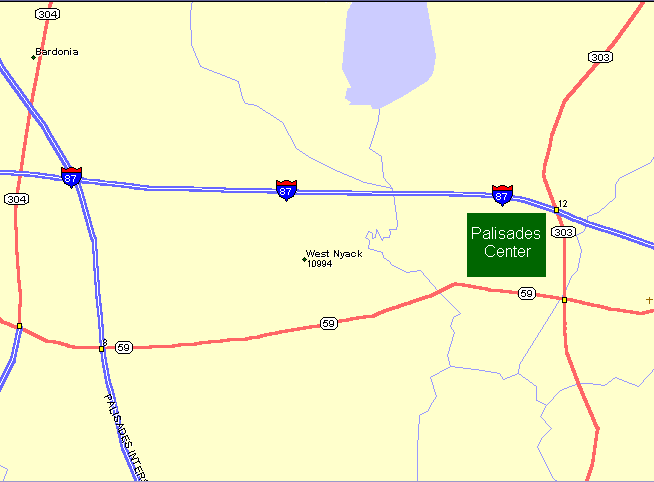
With a few clicks of the mouse, you can locate just about any place in the US. There is substantial data provided about businesses, education and technology, government offices, parks and religious institutions. And businesses, for instance, are broken down into 17 different categories. The amount of data included is staggering. I can zoom in or out to include any level of detail from the entire US to a single street. Then, I can annotate the map with symbols, etc.
The list of user friendly options is vast. I gave it a start address and an end address and I got a route plotted with several points of interest in between included. Mileage and travel time and all services at exits were shown. I can give it telephone area codes or find zips codes and then use the zip code to find a more specific address location. When I pass the cursor over a street, the staus bar below shows the name and address range of the location.
There is so much that is positive and that I enjoy about using Street Atlas that I feel compelled to find at least some negative aspects. One operating characteristic that takes a bit of time to become comfortable with is the way in which the mouse cursor is used. A crosshair mouse cursor appears when a map is displayed. Clicking the left mouse button re-centers the map at whatever point the mouse cursor is located. Other mouse oriented features are very effective. For instance, dragging a rectangle will redraw the map with a level of magnification sufficient to use the enclosed area for the entire screen. Also, on the negative side, my scroll mouse controls do not work with Street Atlas. These negatives are very minor annoyances considering all that is positive about this affordable and excellent map data base.
Street Atlas can be hooked in to work with a GPS (Global Positioning Device) that is useful if you are traveling with your computer. It pinpoints your location on the displayed map and can keep you from getting lost. This option has been available for several years. Now, with the advent of cheaply available GPS devices, this can be a cost effective way to travel the country without fear of getting off-track.